 |
| Photo courtesy of: http://www.landsat.com/merced-county-california-aerial-photography-2010.html |
As mentioned before, Merced lies in the heart of the Central Valley. Therefore the town is surrounded with low, flat land that has been used for agriculture. As you can see from this aerial view, Merced County has been created in a sort of patchwork quilt, with the city right in the middle. The symmetrical rectangles and lines that separate each field have been precisely placed in order to determine property.
 |
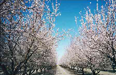
| During the Spring season, Merced is surrounded with acres and acres of these blossoming almond trees, along with many others. |
 |
| September 2004, the beginning stages of UC Merced. |
When plans were put into place to start the construction of UC Merced, there was controversy as to where it would be built. The local politicians and Chancellor of the University did not want to destroy any of the precious land. In the end, the city of Merced decided on a place out in the country, but unfortunately, the deconstruction of the Merced Hills golf course, a popular local spot, had to take place. The construction took place in the South East part of Merced. As you can also see here, the campus is surrounded by dry, desolate land.


No comments:
Post a Comment